Services

Boundary Determination Survey
A Boundary Survey is conducted to establish or recover the precise boundary lines of a parcel of land and to set or replace property corner markers. These surveys are typically ordered in cases such as land subdivision, property boundary disputes, fence installations, or marking property lines.
In addition to determining property boundaries, Boundary Surveys can also reveal vital information, including easements, rights of way, title conflicts, and any gaps or overlaps in title. Each survey involves comprehensive research of public records, fieldwork to locate physical evidence, and office calculations based on legal documents to accurately determine the property lines.
Throughout Pinal County, Maricopa County, and across the State of Arizona, a licensed Arizona surveyor must file a Record of Survey Map with the local County Recorder’s Office for most boundary surveys. This document becomes part of the public record, ensuring transparency and clarity in property ownership.
Minor Land Division (MLD)
A Minor Land Division is a type of Survey used to divide a parcel of land into smaller lots. It is commonly required when a landowner wants to create new parcels for sale, development, or transfer of ownership without going through the more extensive subdivision process.
Key Features of a MLD include:
– Lot Division: Defining the new boundaries and lot sizes.
– Zoning Compliance: Ensuring that the newly created parcels meet local zoning and land-use regulations.
– Easements and Access: Identifying any required easements, or access points for utilities or roads.
– Approval Process: Depending on the jurisdiction, MLDs often require approval from local or county authorities, though the process is generally less involved than a full subdivision.
D2 Surveying will perform a detailed assessment of the property, review legal documents, and ensure that the division complies with local laws. Once complete, the new property boundaries are officially recorded with the county or municipality.
Land Divisions
A Land Division is the process of dividing a single parcel of land into two or more new parcels. This process typically results in the creation of separate, legal lots, each with its own title, and it must comply with local zoning and land use regulations.
This is different from an MLD (Minor Land Division) which is a specific type of land division involving fewer acres, usually up to four or five, depending on local regulations. MLDs are a streamlined process for smaller-scale divisions that often involve less complex approvals compared to larger subdivisions.
Topographic Survey
A Topographic Survey is a specialized land survey designed to map and measure the natural and man-made features of a property. The primary goal is to capture the contours and elevations of the land’s surface to create a detailed representation of the terrain.
Key Features of a Topographic Survey include:
– Contours and Elevations: We map elevation changes such as hills, valleys, and slopes using contour lines to detail the land’s topography.
– Natural Features: Our survey records natural elements such as trees, rivers, streams, ponds, and rock formations
– Man-Made Structures: It also captures man-made features including buildings, fences, roads, bridges, and utility lines
– Drainage and Water Flow: This survey often helps assess water flow, drainage patterns, and flood risks based on the terrain.
A Topographic Survey is typically used in construction, land development, environmental planning, and any situation where understanding the land’s shape and features is essential for decision-making. It serves as a foundational tool for project planning, helping avoid costly design mistakes or construction issues by ensuring the project aligns with the land’s natural terrain.
ALTA Survey
An ALTA Survey is a comprehensive land survey that meets the rigorous standards set by the American Land Title Association (ALTA) and the National Society of Professional Surveyors (NSPS). This survey is crucial for commercial real estate transactions, offering a detailed assessment of the property to identify any title issues, boundary disputes, or potential encroachments.
See here for the difference between ALTA’s and Design ALTA’s.
Lot Line Adjustments
A Lot Line Adjustment is a service we offer at D2 Surveying to modify property boundaries between adjacent parcels. Whether you’re looking to resolve boundary discrepancies, improve the usability of your land, or adjust parcel sizes for zoning compliance, our team ensures that the process is seamless. We handle all aspects of the adjustment, from conducting precise surveys to ensuring the new boundaries meet local regulations, without the need to subdivide the property.
Legal Descriptions and Easement Exhibits
A Legal Description is a precise and formal way of describing the boundaries and location of a specific parcel of land. This description is used in legal document such as deeds, contracts, and leases to define ownership and rights associated with the property.
A Legal Description must be unambiguous, allowing anyone to identify the property without confusion. Our team prepares these descriptions based on thorough field surveys, research of public records, and established surveying standards to ensure accuracy and compliance with legal requirements.
Elevation Certification
An Elevation Certificate is an official document that verifies the elevation of a building or structure in relation to the base flood elevation (BFE) of the area, as determined by the Federal Emergency Management Agency (FEMA).
Our Elevation Certificate services are essential for obtaining flood insurance, meeting local building regulations, and managing flood risks effectively. Whether you’re a homeowner or developer, we ensure that your property is properly documented for flood risk assessment.
Utility Surveys
An Underground Utility Survey is designed to accurately identify and map all underground utilities within a specified area, providing invaluable data for construction, renovation, and infrastructure projects.
Using a combination of advanced, non-intrusive techniques, we create detailed three-dimensional drawings or site mark-ups that reveal the location and depth of various subsurface utilities without the need for excavation. This cost-effective methodology efficiently detects and documents all types of underground utilities, including drainage systems, foul sewers, water mains, oil and gas pipelines, power cables, fiber optic cables, telecom cables, and ducting.
Drone Surveys
At D2 Surveying, we offer cutting-edge Drone Surveying services to provide fast, accurate, and detailed aerial data for your project. Our drone technology captures high-resolution imagery and topographic information, making it ideal for land development, construction monitoring, and volume calculations. With our drone surveys, you get efficient data collection and precise results, reducing time on-site while enhancing project planning and execution.
As-Built Surveys
An As-Built Survey is a detailed record of a construction project after it’s been built, including measurements, materials, and final locations. It’s a blueprint of the project as it is, rather than how it was planned.
Our As-Built Surveys are typically presented using redline annotations, overlaid on existing design plans for easy comparison with original design information. This method enables stakeholders to identify any discrepancies between the planned and actual construction, ensuring compliance with project specifications and regulatory requirements.

Construction Staking
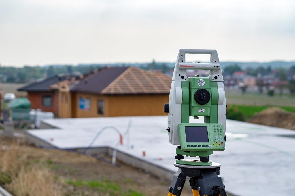
For new construction projects, our Construction Staking services provide a clear representation of the plan information on the site being developed. Our skilled field crews expertly stake the necessary information according to the contractor’s specifications, ensuring precise alignment with the project’s design.
Construction Staking is essential for various civil and structural improvements, including buildings, roads, bridges, utilities, drainage systems, and subdivisions. By accurately marking key elements on-site, we help facilitate efficient construction and minimize costly errors, ultimately contributing to the success of your project.
Mining Survey
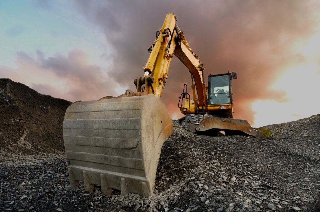
Our Mining Survey services are essential for the successful planning and execution of mining operations. Our surveys involve directing the excavation of mine shafts and galleries while accurately calculating the volume of rock extracted.
We utilize specialized techniques tailored to the unique challenges of mining environments, including vertical shafts and narrow passages, ensuring precision and efficiency in every project. Our experienced team is committed to providing detailed and reliable survey data that supports safe and effective mining practices.
As-Built Survey
An As-Built Survey is a detailed record of a construction project after it’s been built, including measurements, materials, and final locations. It’s a blueprint of the project as it is, rather than how it was planned.
Our As-Built Surveys are typically presented using redline annotations, overlaid on existing design plans for easy comparison with original design information. This method enables stakeholders to identify any discrepancies between the planned and actual construction, ensuring compliance with project specifications and regulatory requirements.
Drone Surveys
At D2 Surveying, we offer cutting-edge Drone Surveying services to provide fast, accurate, and detailed aerial data for your project. Our drone technology captures high-resolution imagery and topographic information, making it ideal for land development, construction monitoring, and volume calculations. With our drone surveys, you get efficient data collection and precise results, reducing time on-site while enhancing project planning and execution.
